In a country the size of a continent like Brazil, the existence of reliable and accessible data about vegetation coverage and land use is essential to ensure efficiency in combating deforestation. MapBiomas was created to guarantee the availability of this information based on a low-cost, rapid state-of-the-art methodology.
Based on Google Earth Engine technology, the project generates annual maps of vegetation coverage and soil use in Brazil, which is divulged over a collaborative platform. The most recent collection of maps covers the period from 1985 to 2017 and enables consultation by biome, state, municipality and conservation unit, among other territorial categories. This information may be used in planning measures to combat deforestation, to calculate greenhouse gas emissions and to formulate policy aimed at the sustainable use of natural resources.
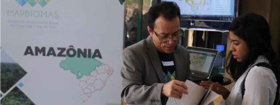
MapBiomas is a multi-institutional initiative involving the participation of universities, NGOs and technology companies. The data is used by diverse public institutions, including IBAMA, which joined the project in phase 2, in which we progressed in the validation of alerts about areas being deforested in the country.
Learn more about MapBiomas and its other initiatives (MapBiomas Alerta, Amazônia, Chaco, Árida, Bosque Atlântico, Pampa), as well as Portal Geocovid.